 Catàleg local de Mallorca
Administrative units
Type of resources
Available actions
Municipios
INSPIRE themes
Keywords
Contact for the resource
Provided by
Years
Formats
Service types
Scale
-
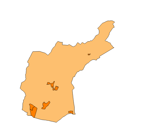
Dataset of the subject of Annex I of INSPIRE: Administrative units of the municipality of Bunyola created in 2015. The municipality of Bunyola is composed of a smaller entity: Palmanyola, therefore, the dataset complies with the requirements of the subject of INSPIRE. Scale 1: 5,000. The coordinate system: ETRS89, axle 31 (EPSG: 25831).
-
Web Map Service that allows to visualize the dataset of the administrative units of Bunyola. The service contains a single layer of lines with the limits of Palmanyola (Local Entity Smaller of Bunyola) called Administrative Limit, and another layer of polygons with the extension of the same called Administrative Unit. The symbolism associated with layers is defined by the INSPIRE specifications. Scale: 1: 5,000. Coordinate system: ETRS89. Access to this service is free provided that the City of Bunyola appears as the owner of the data and Consell de Mallorca as the owner of the service.
-
ATOM download service that allows access to the cartography of addresses, transport infrastructure network, administrative units and geographical names of the municipality of Bunyola. The service complies with the INSPIRE download services technical guide (version 3.1) and uses OpenSearch technology to query the available data sets. The phenomena are served according to the original data model of each project. Access to this service is free provided that Bunyola Town Hall appears as the owner of the data and Consell de Mallorca as the owner of the service. Scale 1: 2,000.